Technology that saves lives
Public services
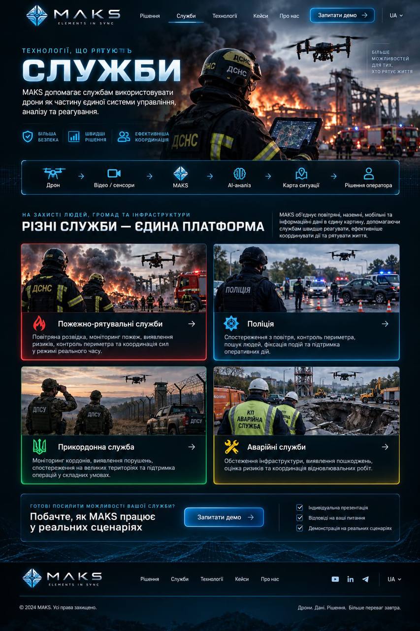
MAKS helps public services use drones as part of a single system for management, analysis and response.
safetyFaster
decisionsMore effective
coordination
 MAKS
MAKSProtecting people, communities and infrastructure
Different services.
One platform.
MAKS brings aerial, ground, mobile and information data into a single picture, helping services respond faster, coordinate action more effectively and save lives.
Fire and rescue
Aerial reconnaissance, fire monitoring, risk detection, perimeter control and real-time coordination of response teams.
Fire and rescue
Police
Aerial observation, perimeter control, searches for people, incident documentation and operational support.
Police
Border services
Border monitoring, detection of violations, observation across large territories and support for operations in difficult conditions.
Border services
Emergency utilities
Infrastructure inspection, damage detection, risk assessment and coordination of recovery work.
Emergency utilities
Ready to strengthen your service’s capabilities?