Technology that strengthens capabilities
Defence
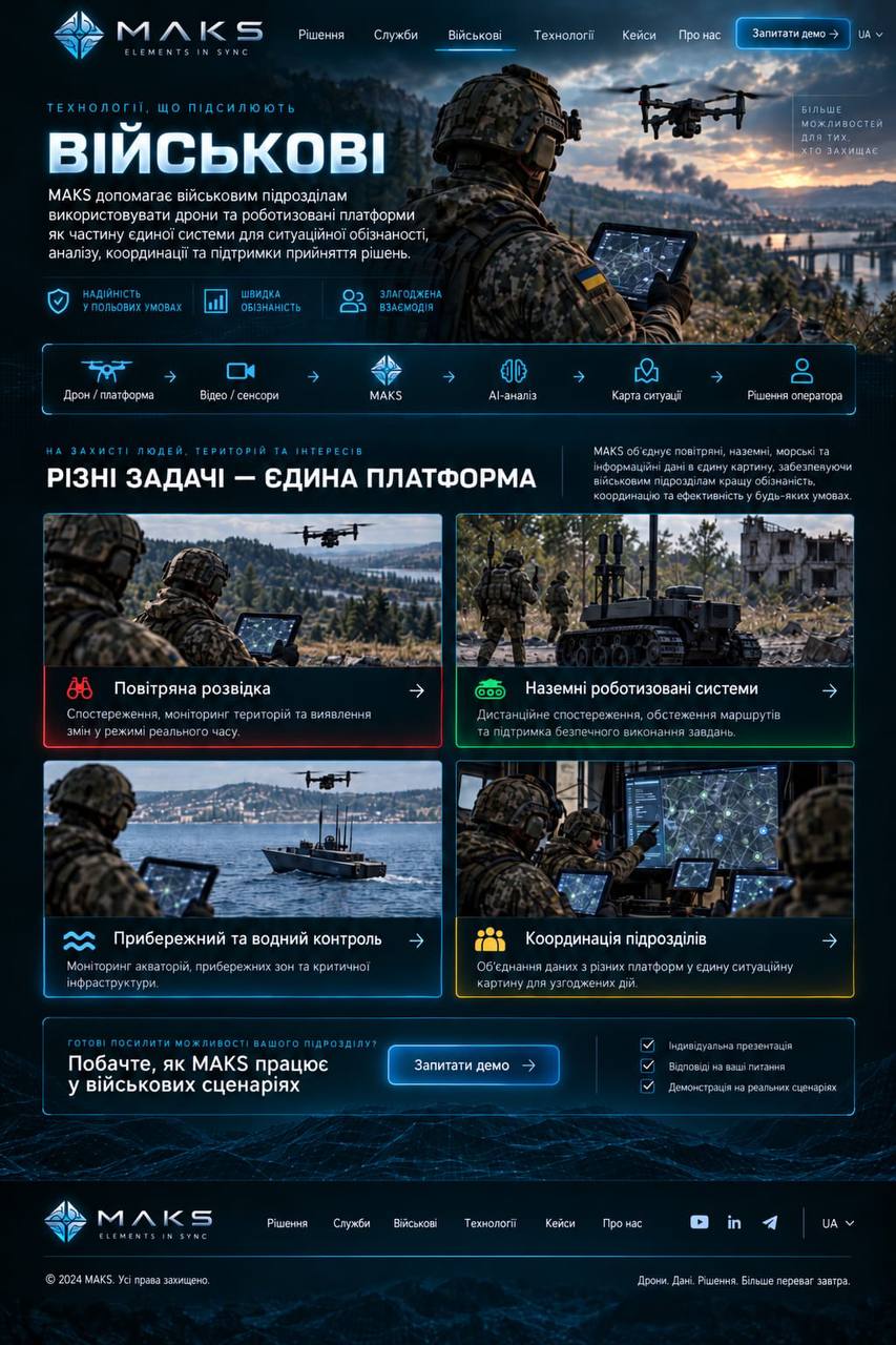
MAKS helps military units use drones and robotic platforms as part of a single system for situational awareness, analysis, coordination and decision support.
in field conditionsRapid
awarenessCoordinated
action
 MAKS
MAKSProtecting people, territories and interests
Different tasks.
One platform.
MAKS brings aerial, ground, maritime and information data into a single picture, providing military units with better awareness, coordination and effectiveness in any conditions.
Aerial reconnaissance
Observation, territory monitoring and real-time change detection.
Aerial reconnaissance
Ground robotic systems
Remote observation, route inspection and support for the safe completion of tasks.
Ground robotic systems
Coastal and maritime observation
Monitoring of waters, coastal areas and critical infrastructure.
Coastal and maritime observation
Unit coordination
Bringing data from different platforms into a single situation picture for coordinated action.
Unit coordination
Ready to strengthen your unit’s capabilities?