Technology that brings us together
One system.
For services, business
and defence.
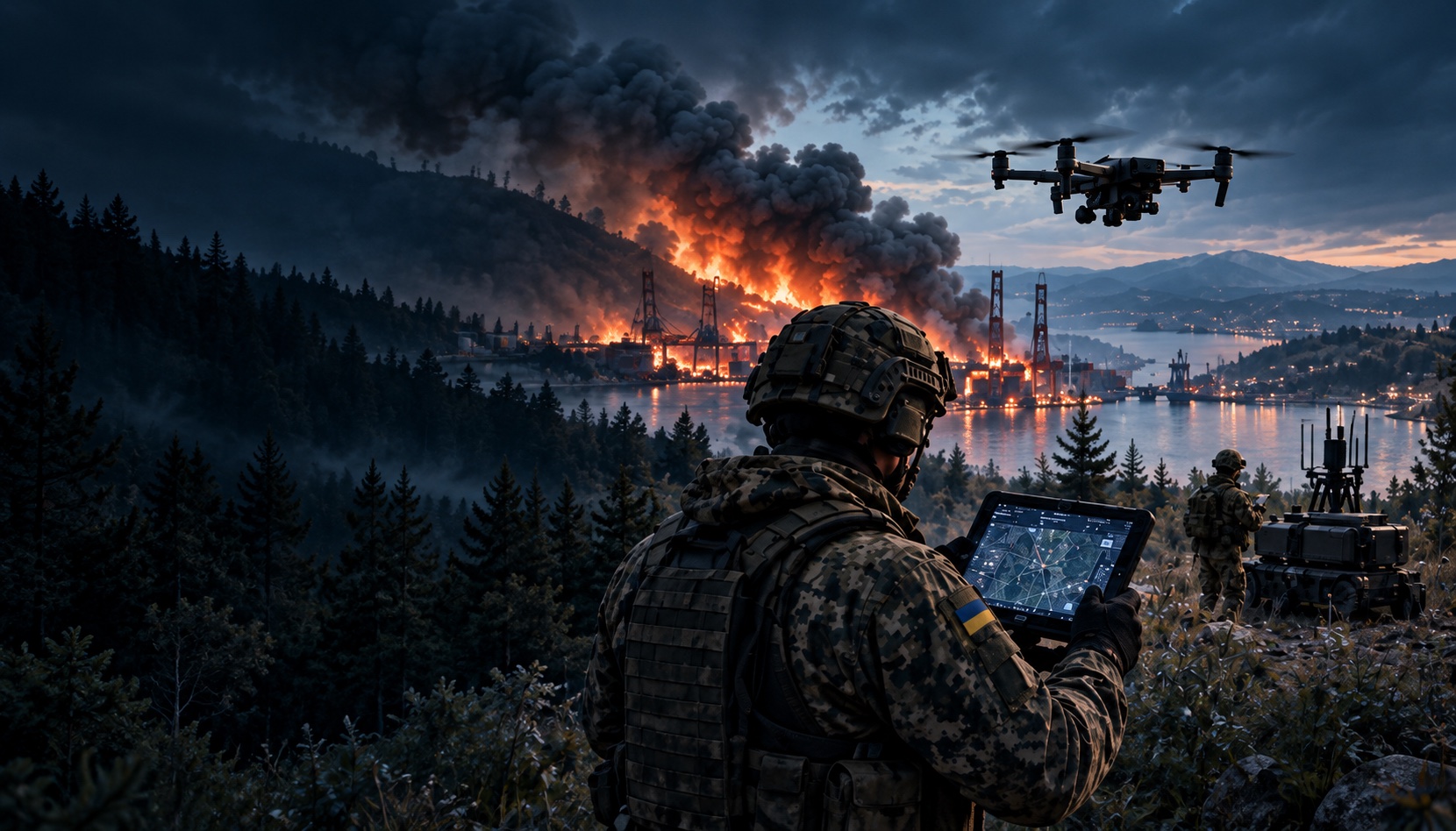
MAKS helps use drones and robotic platforms as part of a single system — for observation, analysis, coordination and decision support in any conditions.
peopleMore effective
operationsA stronger
Ukraine
Real results
More possibilities
 MAKS
MAKSElements in Sync
Solutions
Public services
MAKS helps save lives, assess situations promptly and coordinate action.
Learn moreBusiness
MAKS helps companies optimise processes, reduce risks and obtain more data for decision-making.
Learn moreDefence
MAKS provides an advantage in situational awareness, reconnaissance and operational planning.
Learn moreMonitoring
MAKS helps monitor infrastructure, the environment, cities and logistics, including railway infrastructure.
Learn moreElements in Sync
Different elements.
Shared understanding.
MAKS brings aerial, ground, maritime and information data into a single picture, providing efficiency, safety and better decisions for every sector.
ELEMENTS IN SYNC
Technology today. A safer tomorrow.